


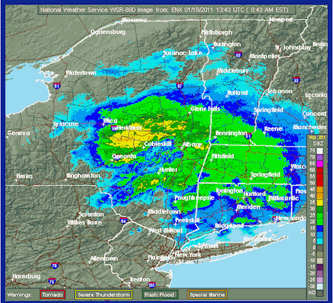
Radar image of a storm system moving over the Catskills today, From the National Weather Service.
The National Weather Service is warning drivers across the Catskills today that a pernicious mix of snow and sleet will make the roads an ice rink this morning:
Slippery Morning Drive Is In Store For The Northern Catskills...Greater Capital District...Mohawk Valley...Southeastern Adirondacks...Lake George Saratoga Region...The Berkshires North From Interstate 90 North As Well As Southern Vermont. Snow...Spreading North Of The Capital Region...Will Fall At The Rate Of About Half An Inch Per Hour Through 800 AM. Look For One To 2 Inches Of New Snowfall By 800 AM. The Snow Will Produce Slippery Roads And Walkways. Allow Extra Time To Reach Your Destination This Morning And Exercise Caution.
And we're not out of the woods until tomorrow. Sullivan County Manager David Fanslau has already issued a winter weather advisory from now until 6am tomorrow morning. From the Sullivan County website:
“The National Weather Service in Binghamton has issued a Winter Weather Advisory for snow, sleet, and freezing rain that will come into Sullivan County tonight. Snow will overspread the region after midnight tonight, and by daybreak, light snow will change over to a wintry mix of snow, sleet, and freezing rain. The temperatures will be rising into the upper 20s to lower 30s by Tuesday afternoon, then falling back below freezing again Tuesday evening. The total accumulation is between three inches and five inches of snow and up to one-third inch of icing is possible.
Greene County is poised to get 4 to 8 inches of snow today, liberally sprinkled with freezing rain and lots of ice:
TODAY...SNOW...SLEET WITH A CHANCE OF FREEZING RAIN. RAIN THIS AFTERNOON. SNOW AND SLEET ACCUMULATION OF 2 TO 4 INCHES. ICE ACCUMULATION OF UP TO ONE TENTH OF AN INCH. NOT AS COOL WITH THE HIGH IN THE LOWER 30S. SOUTHEAST WINDS AROUND 5 MPH...BECOMING NORTHEAST THIS AFTERNOON. CHANCE OF PRECIPITATION NEAR 100 PERCENT. .TONIGHT...LIGHT FREEZING RAIN...FREEZING DRIZZLE WITH POSSIBLE RAIN...DRIZZLE...SNOW AND SLEET IN THE EVENING...THEN A CHANCE OF LIGHT FREEZING RAIN AND VERY LIGHT FREEZING DRIZZLE AFTER MIDNIGHT. TOTAL SNOW ACCUMULATION OF 4 TO 8 INCHES. ICE ACCUMULATION OF UP TO ONE TENTH OF AN INCH.


