


The National Weather Service says we're in for it. Here's the forecast for Schoharie and Greene County:
Locations: The Southern Adirondacks...Western Mohawk Valley...Schoharie Valley...Lake George Saratoga Region...Capital District...Southern Vermont...Western Massachusetts...Taconics And Northeastern Catskills. * Hazards: Heavy Snow...Possibly Mixed With Sleet From The Schoharie Valley...Capital District And Southern Vermont...And Points South. * Accumulations: Snow Accumulations By Tuesday Night Should Be 3 To 8 Inches...2 Inches Or Less Accumulation Tuesday Night. Then Additional Heavy Snow And Sleet Accumulations Wednesday And Wednesday Night...With 2 Day Storm Totals Over 1 Foot. * Timing: Snow Will Spread Across The Area Early Tuesday Morning...And Become Occasionally Moderate To Heavy Through Tuesday Evening. Precipitation Will Taper Off To Occasional Light Snow With A Chance Of Sleet Tuesday Night...Then Become Heavy Again Wednesday...Ending Wednesday Night. * Impacts: Snow Covered Roads And Poor Visibility...Creating Hazardous Travel Conditions.
* Locations: The Northern Tier Counties Of Pennsylvania...And Central New York. * Hazards: Snow Late Tonight Into Wednesday...Mixing With Sleet Or Freezing Rain Over The Twin Tiers Late Tuesday Night Into Wednesday. * Accumulations: 3 To 6 Inches Over The Twin Tiers...With Accumulations Of 2 To 4 Inches Across The Northern Finger Lakes...Western Mohawk Valley And Southern Tug Hill Plateau By Tuesday Evening. Additional Significant Snow Accumulations Are Likely Tuesday Night Into Wednesday...With The Possibility Of Some Freezing Rain Over The Twin Tiers. * Timing: Snow Will Develop Over Northern Pennsylvania And The Southern Tier Of New York After Midnight Tonight...Reaching The Northern Finger Lakes And Western Mohawk Valley Before Daybreak. The Wintry Weather Will Continue Into Wednesday. * Temperatures: Lower To Mid 20S On Tuesday...Mid To Upper 20S On Wednesday. * Impacts: Travel Will Become Hazardous Late Tonight Into Wednesday Due To Snow...With Freezing Rain Possible Over The Twin Tiers On Wednesday.
* Locations: Eastern Catskills...Mid Hudson Valley And Northwestern Connecticut. * Hazards: Heavy Snow And Sleet...And Possible Light Ice Accumulations. * Accumulations: Snow Accumulations By Tuesday Night Should Be 3 To 8 Inches...With Less Than 2 Inches Of Additional Accumulation Tuesday Night. Then Additional Light To Moderate Snow And Sleet Accumulations Wednesday And Wednesday Night...With Light Ice Accumulations Possible. Two Day Snow Totals Possibly Over 9 Inches. * Timing: Snow Will Spread Across The Area Early Tuesday Morning...And Become Occasionally Moderate To Heavy Through Tuesday. Tuesday Evening...Precipitation Will Taper Off To Occasional Light Snow...Sleet And Possible Freezing Rain. Mixed Precipitation Will Become Heavy Again Wednesday...Ending As Light Snow Wednesday Night. * Impacts: Snow Covered Roads And Poor Visibility...Creating Hazardous Travel Conditions. Ice Accumulations Could Cause Isolated Power Outages.
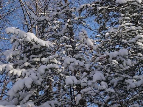
Recent photo of snow on some Stamford evergreens by Flickr user McGahee; posted in our Watershed Post Flickr group.


